The Real Danger Isn't the Fake Image - It's the Map Underneath
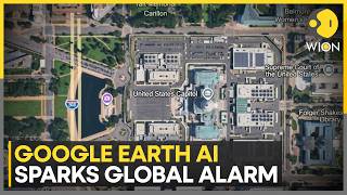
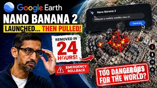
Ordinary AI-generated images are judged on their own plausibility. Google's tool worked differently: it generated a synthetic scene and layered it directly onto the real satellite, aerial, and 3D-mapping data for an actual coordinate[1]. That distinction is what made it dangerous. Dutch OSINT researcher Henk van Ess, who documented several fabricated scenes within hours of the feature's launch, put it plainly: 'The forgery does not have to look convincing on its own. It inherits the credibility of the map it was born on.'[2]A viewer isn't judging whether an image looks fake in isolation - they're trusting a platform that two decades of journalists, human-rights investigators, and OSINT analysts have used as a default verification layer[2]. Independent testing showed how far that trust could be exploited: fabricated scenes included a nuclear facility in Iranian territory, a bombed hospital in Gaza, a refugee camp at the U.S.-Mexico border, and a fatal crash scene in Amsterdam[2], while AFP's own tests produced an explosion in Paris, a bomb crater in Russia, and a purported Islamic State training ground in Syria[3].