From Physics Simulation to Pattern Learning: How WeatherNext Actually Works
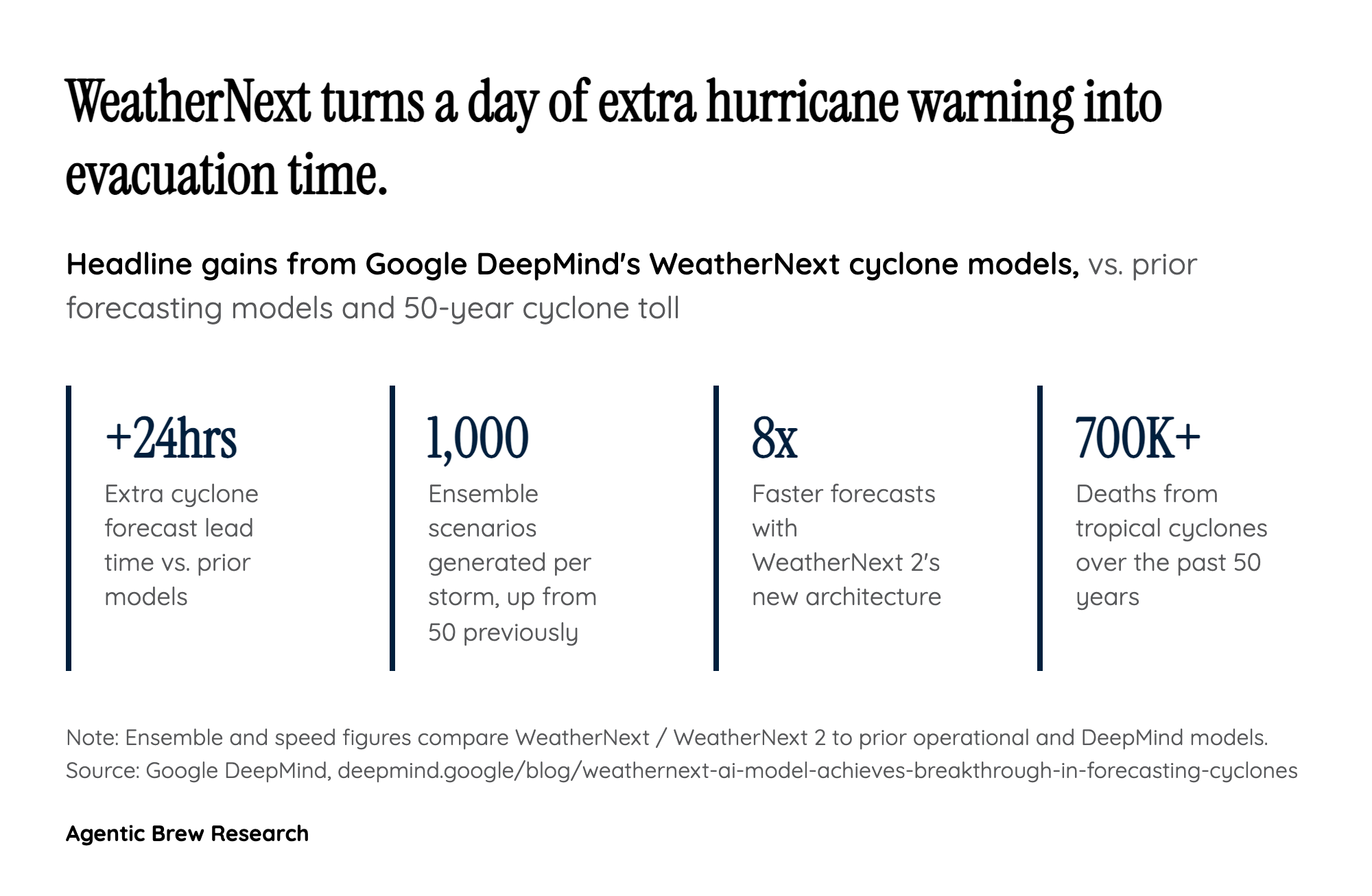
For decades, cyclone forecasting has run into a structural trade-off: large global models are good at predicting a storm's path but lack the resolution to nail its intensity, while high-resolution regional models capture intensity better but lose the global context needed for track. WeatherNext was built specifically to bridge that gap, training on nearly 20 terabytes of global atmospheric data alongside a specialized dataset of roughly 5,000 historical storms drawn from the IBTrACS database [1]. The payoff shows up directly in the numbers: the model now generates 1,000 possible scenarios per cyclone, a 20x jump from the 50 scenarios earlier ensembles produced, and it can turn out a full 15-day forecast in under a minute on a single TPU [1].
WeatherNext 2 pushes the underlying architecture further, replacing the earlier GenCast-based network with a new Functional Generative Network (FGN) design: roughly 180 million parameters, a 0.25-degree grid, a 6-hour timestep, 24 transformer layers, a 4-model ensemble, and a 32-dimensional noise vector used to represent aleatoric uncertainty [2]. The result is a model that beats its GenCast-based predecessor on forecast accuracy (measured by CRPS) in 99.9% of variable, level, and lead-time combinations, with an average 6.5% improvement and gains up to 18% for some variables at shorter lead times, plus a full extra day of tropical cyclone tracking skill [2]. Google frames this as a broader shift in weather science itself: instead of running expensive, supercomputer-bound physics simulations, WeatherNext treats forecasting as a pattern-learning problem, which is how it manages to be roughly eight times faster than its predecessor while forecasting at one-hour resolution [3].